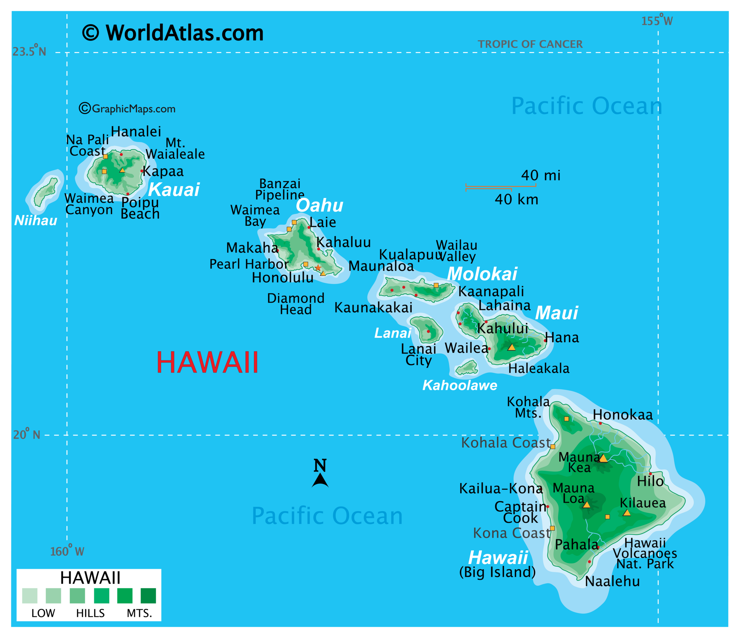
Printable Latitude And Longitude Map
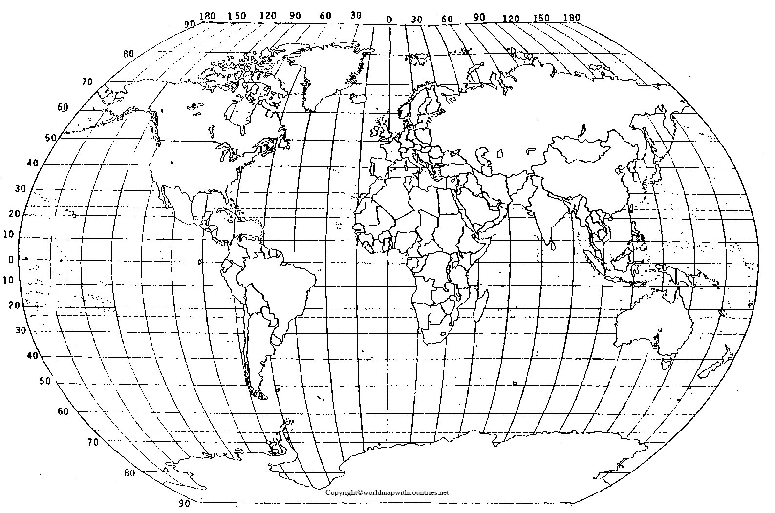
Latitude and longitude are geographical coordinates used to specify locations on Earth. Latitude lines run horizontally, measuring distance north and south of the equator, while longitude lines run vertically, measuring distance east and west of the Prime Meridian. By using these coordinates, you can pinpoint any location on Earth with precision. A printable latitude and … Read more